Discover
Explore the Falls
In all the world, there is no other place like it.
Fossils * Exhibits * Birds * Fishing * Hiking * History * Clark Home Site * Natural Habitat
In all the world, there is no other place like it.
Fossils * Exhibits * Birds * Fishing * Hiking * History * Clark Home Site * Natural Habitat
Become a member of the Falls of the Ohio Foundation or a park volunteer. The Falls of the Ohio needs your support!
Family? Tour group? School? On your own? Make the Falls of the Ohio visit your experience of a lifetime!
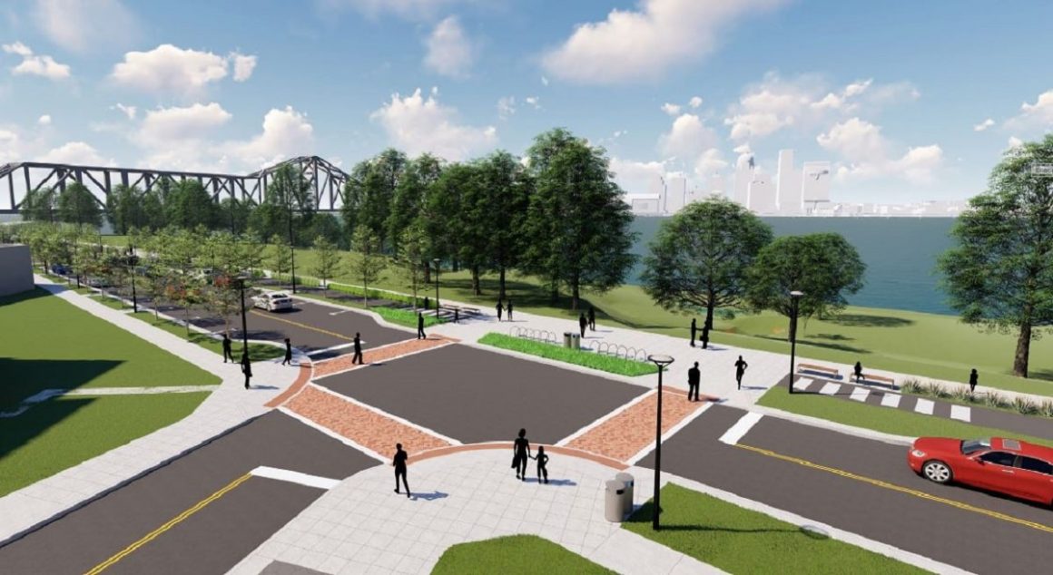
On January 9th, the Town of Clarksville announced an 11-month reconstruction project that will greatly enhance the river landscapes around the Falls of the Ohio State Park, while improving pedestrian access.
Read This Article